Put the map in every guest’s pocket.
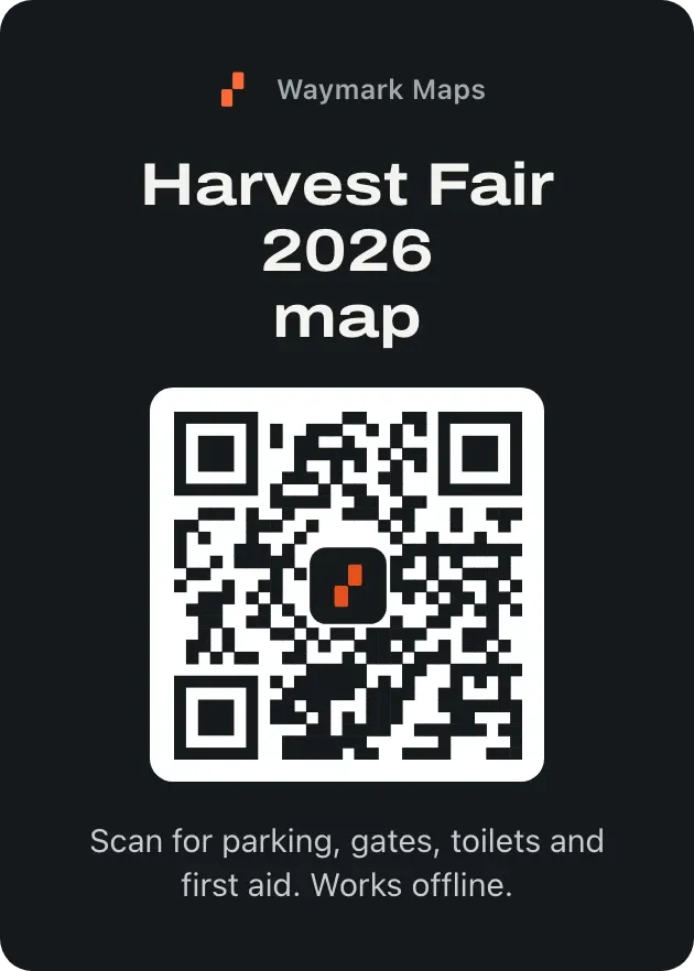
Draw your venue once. Guests scan a code at the gate and find parking, entrances, toilets and first aid on their own phone, with no account to make. You change it on the day, and every guest sees it.
- Festivals
- Fairs
- Weddings
- Races
- Campus days
- Retreats
Getting a map to thousands of guests is harder than drawing it.
Printed maps run out
By noon they’re gone or on the ground, and you can’t reprint thousands for one closed gate.
PDFs don’t update
Once it’s sent, every copy is frozen. Move a stall or fix a mistake and guests are still looking at the old one.
Signs can’t keep up
Close a gate or move the first aid tent and half your guests walk to the old spot.
From site plan to every phone in an afternoon.
Plan on iPhone, iPad and Android, or in the browser on your Mac or PC. Your crew and your guests work from the same map, so nobody holds an old copy.
- iPhone
- iPad
- Android
- Mac
- Web
Step 1: Draw your venue
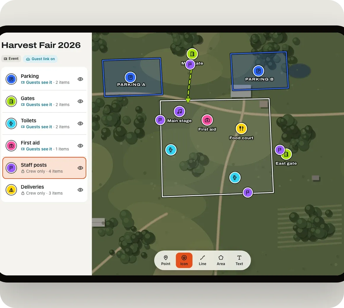
Pick the event template and mark parking, gates, toilets, first aid and food over a satellite view of your site.
Step 2: Choose what guests see
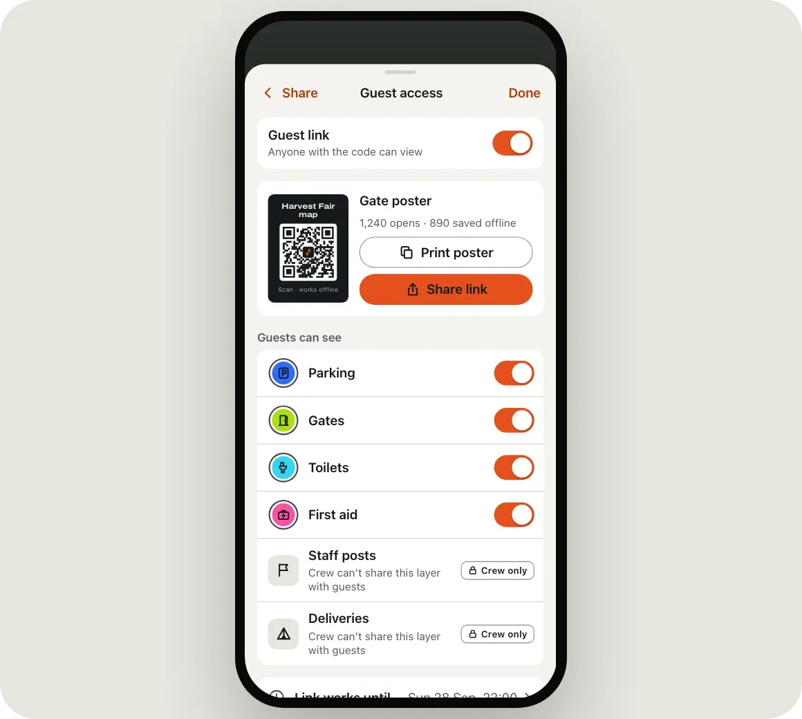
Share the layers guests need and keep the rest for your crew. Staff posts and delivery routes never go public.
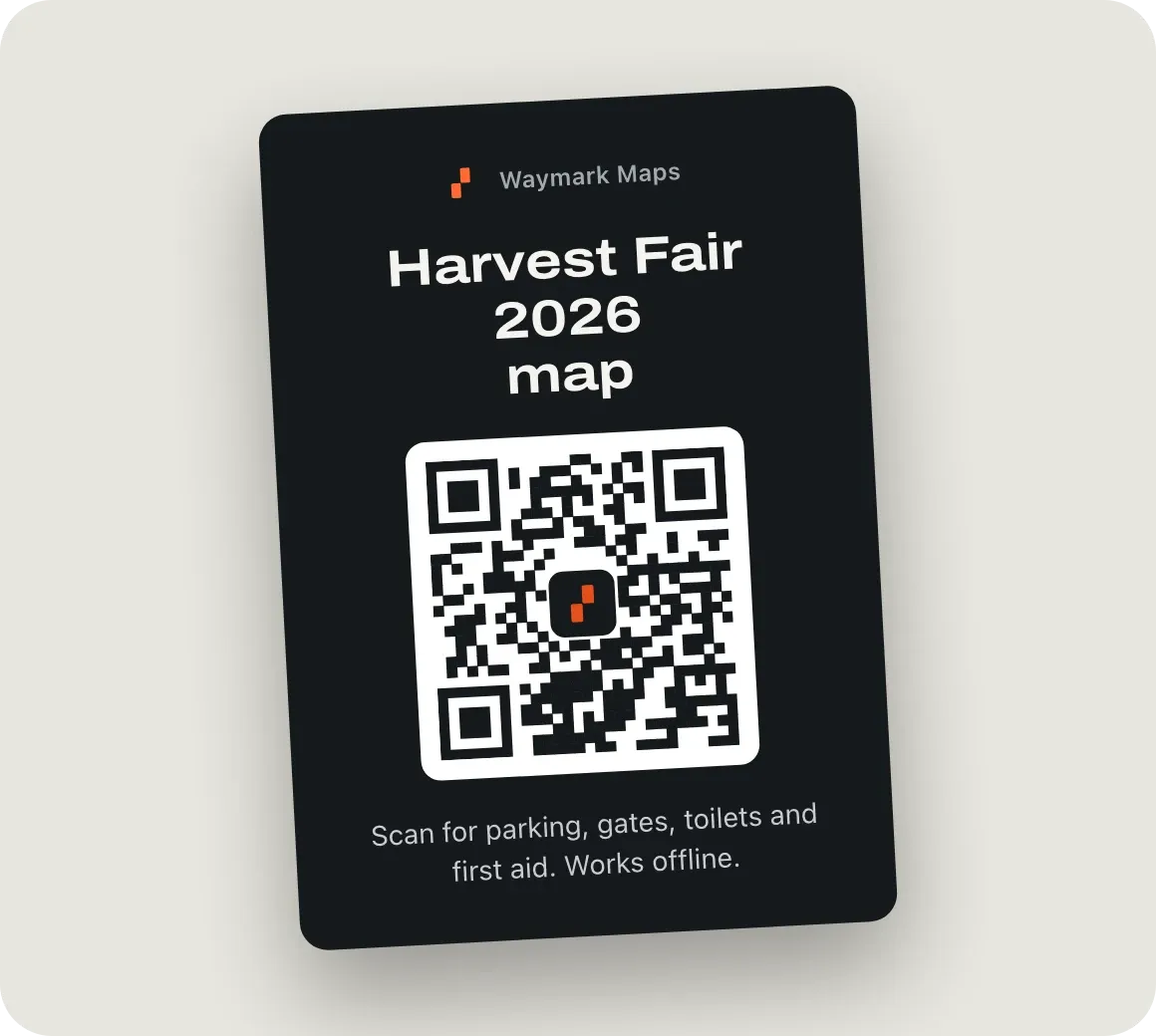
Step 3: Hand out the code
Print the gate poster, put the code on tickets and wristbands, or send the link with your confirmation email.
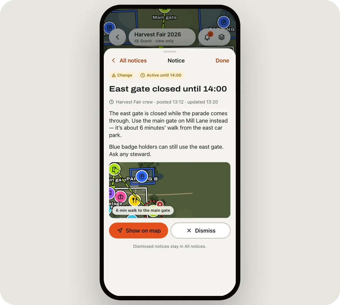
Step 4: Change it on the day
Move a tent on the map or post a notice from your phone. Guests see it the next time their map refreshes.
A map they’ll actually use.
Open in seconds
They scan the code on the poster, ticket or wristband and the map opens. No app to find, no account to make.
Still there when the signal isn’t
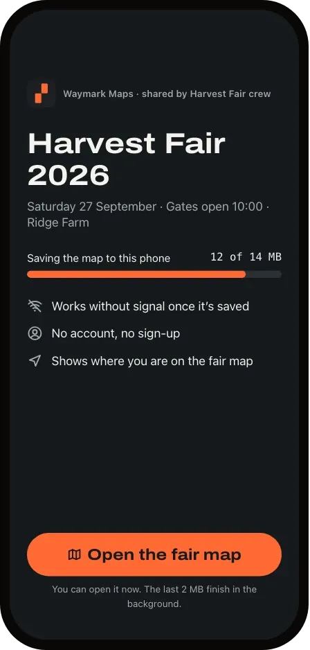
With the Waymark Maps app, the map saves to their phone as it opens, so it keeps working when a crowd swamps the network.
Find anything, fast
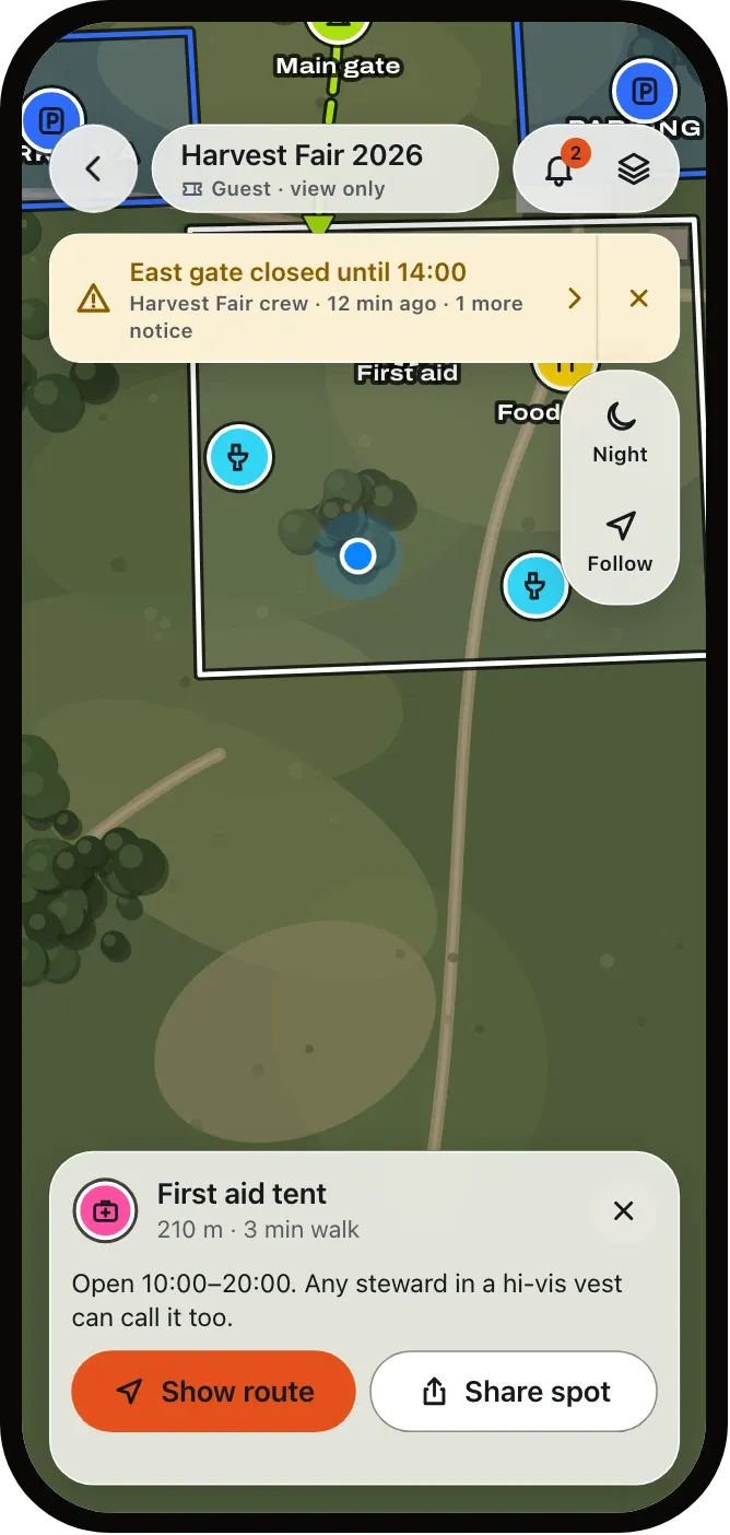
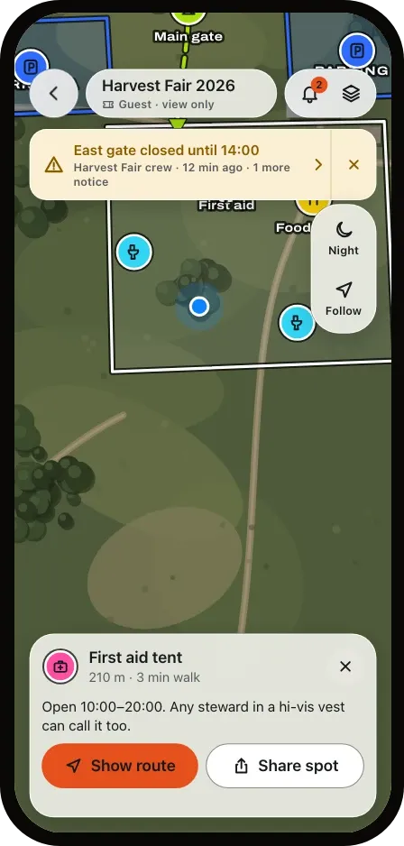
They see where they’re standing, tap the first aid tent and get the distance and walking time.
Hear about changes first
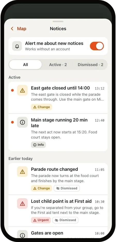
Post a notice when a gate closes. It shows at the top of every guest’s map, with the way round.
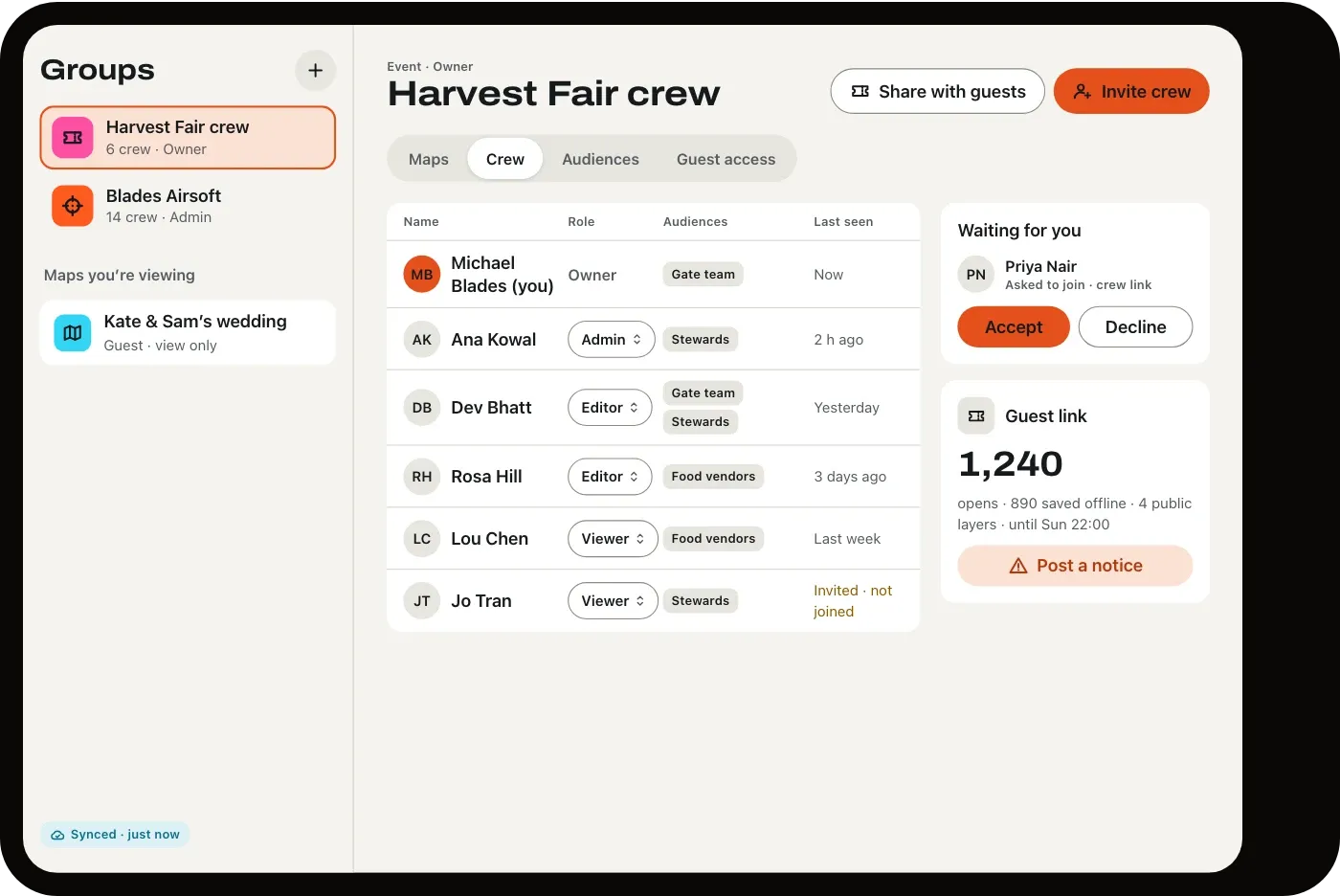
Your crew works from the same map.
- Invite stewards, gate staff and vendors with a link, and choose who can edit and who can only look.
- Show each team only its own plans: the gate team sees gate layers, vendors see delivery routes.
- Tell every guest about a change from wherever you’re standing.
- See how many guests opened the map and how many saved it for offline.
Any event with a gate and a crowd.
Festivals
Stages, camping, water points and medical tents
Fairs and markets
Stalls, parking, and lost and found
Weddings
The venue, shuttle stops and where to park
Races and fun runs
The course, start pens and aid stations
School and campus days
Buildings, sessions and step-free routes
Camps and retreats
Cabins, trails and meeting points
It works for teams in the field too: airsoft and paintball groups get a template of their own.
Before you print the poster.
Do guests need to download anything?
No. The code opens the map in their phone’s browser. Guests who have the Waymark Maps app get it there instead, where it can be saved for use without signal.
What if there’s no signal at the venue?
Guests with the app keep the whole map on their phone once it has loaded. In the browser it needs signal, so put the poster at the gate, where signal is usually best.
Can guests see my staff plans?
Only what you share. You choose which layers guests see; staff posts, delivery routes and team plans stay with your crew.
Can I change the map on the day?
Yes. Edit it from your phone, tablet or computer, or post a notice. Guests get the change the next time their phone has signal.
Which devices does it work on?
Organizers plan in the app on iPhone, iPad and Android phones and tablets, or in the web editor on a Mac, PC or Chromebook. Guests don’t need an app: the code opens the map on any phone, and guests with the app on iPhone or Android can save it for use without signal.
What does it cost?
Pricing is coming soon. Until then, tell us about your event and we’ll help you get set up.
Your next event, mapped.
Draw it this afternoon, print the poster tonight.